
Speaking
|
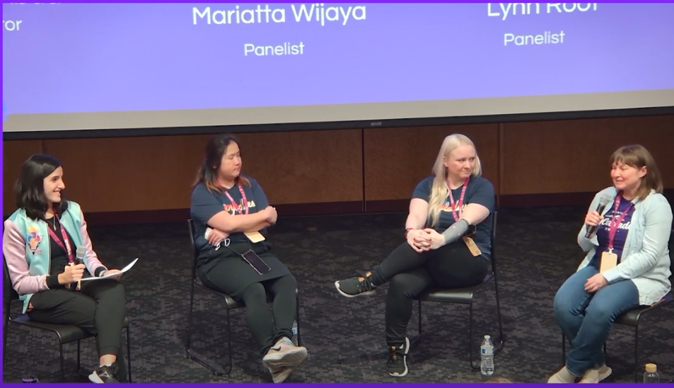
PyCascades 2024: PyLadies Panel Discussion
In this panel discussion, we discuss our experiences as women in the tech community. |
|
|
PyCascades 2024: Mapping Tomorrow's Eclipse Path with GeoPandas and PyScript
This lightning talk covers how we can map the April 2024 eclipse path with GeoPandas and PyScript. |

|
|
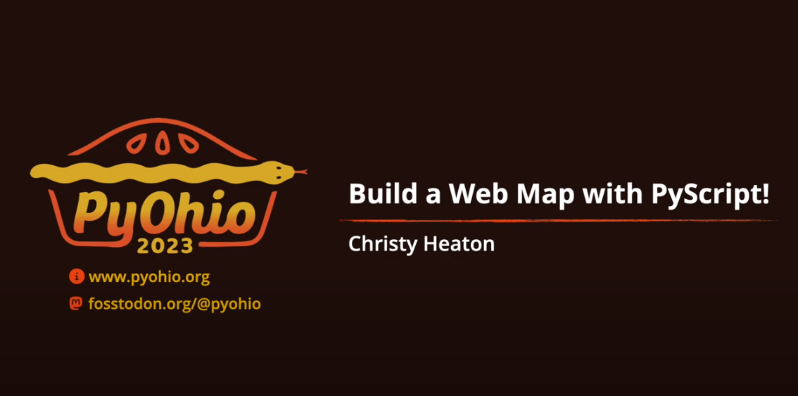
PyOhio 2023: Build a Web Map with PyScript!
PyScript allows you to run Python code in a browser, like JavaScript does. It also lets you import geospatial mapping libraries like Folium and GeoPandas, all without actually installing anything! In this talk, we'll discuss the benefits and ease of using PyScript for this task, then we'll go through a basic geospatial analysis and display the results in a web map. In the end we'll have an app that can be easily shared, containing Python code that anyone can view and run. |
|
|
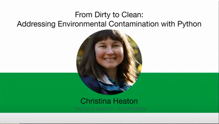
Women in Data Science Puget Sound 2022: From Dirty to Clean Addressing Environmental Contamination with Python
Environmental consultants work with a variety of industries to provide insight on environmental concerns. In this talk, we will use Pandas to process tabular data, Matplotlib and seaborn to create charts and graphs, and GeoPandas to create geographic charts and process geospatial data, all in the context of an environmental cleanup project. |
|
|
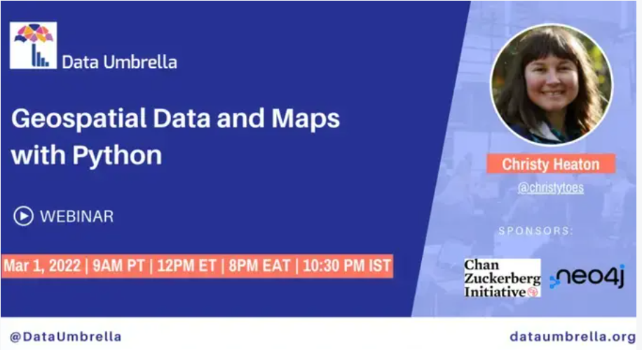
Data Umbrella: Geospatial Data and Maps with Python
Maps are powerful tools that we use every day, and Python is well-equipped to handle geospatial data, perform geospatial analysis, and create insightful maps. In this talk, we'll go over some common Python mapping libraries, considerations when working with geospatial data, and use cases. |
|
|
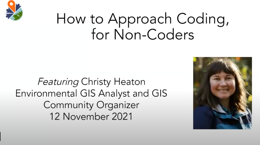
YouthMappers: How to Approach Coding for Non-Coders
Coding can be a career-changing skill for professionals working with geospatial data. This talk will help you get started on your coding journey. |
|
|
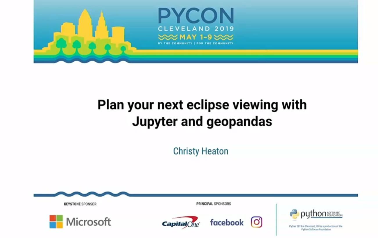
PyCon 2019 Talk: Plan Your Next Eclipse Viewing with Jupyter and Geopandas
In this talk, we'll discover the fascinating world of spatial analysis by solving a fun problem: where can we go to see an upcoming solar eclipse? Along the way we'll learn about mapping topics like projections and coordinate systems, best practices for map making, and intricacies of spatial data. |
|
|
PyCon 2019 Charla: PyCon Charla: Planea el Proximo Eclipse con Jupyter y Geopandas
En esta charla, descubriremos el fascinante mundo del análisis espacial resolviendo un divertido problema: ¿dónde podemos ir para ver un próximo eclipse solar? En el camino, aprenderemos sobre temas de mapeo como proyecciones y sistemas de coordenadas, las mejores prácticas para hacer mapas y las complejidades de los datos espaciales. |
|
|
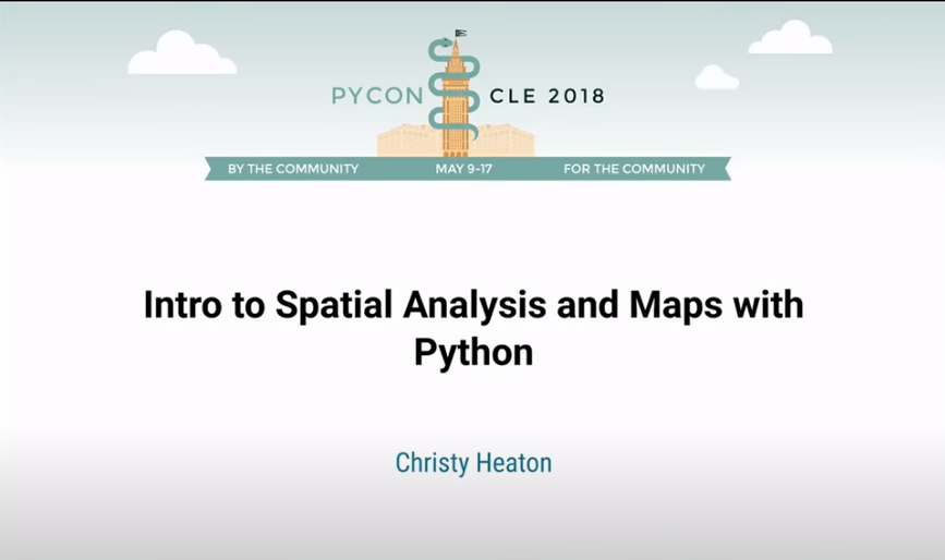
PyCon 2018 Tutorial: Intro to Spatial Analysis and Maps with Python
In this tutorial, we will introduce Python as a spatial problem solving and data visualization tool. To demonstrate the power of Python for spatial analysis, we will solve a spatial problem and make a beautiful map of our results. Along the way, we will discuss considerations when dealing with spatial data and the wide range of Python tools available for spatial analysis. |
|
|
University of Washington GIS Day: Networking for Interesting Career Opportunities
Cool opportunities are out there, but how you do you find them? Networking is key to meeting the right people at the right time. This talk will help you get started networking for interesting career opportunites in GIS! |
|